Abstract
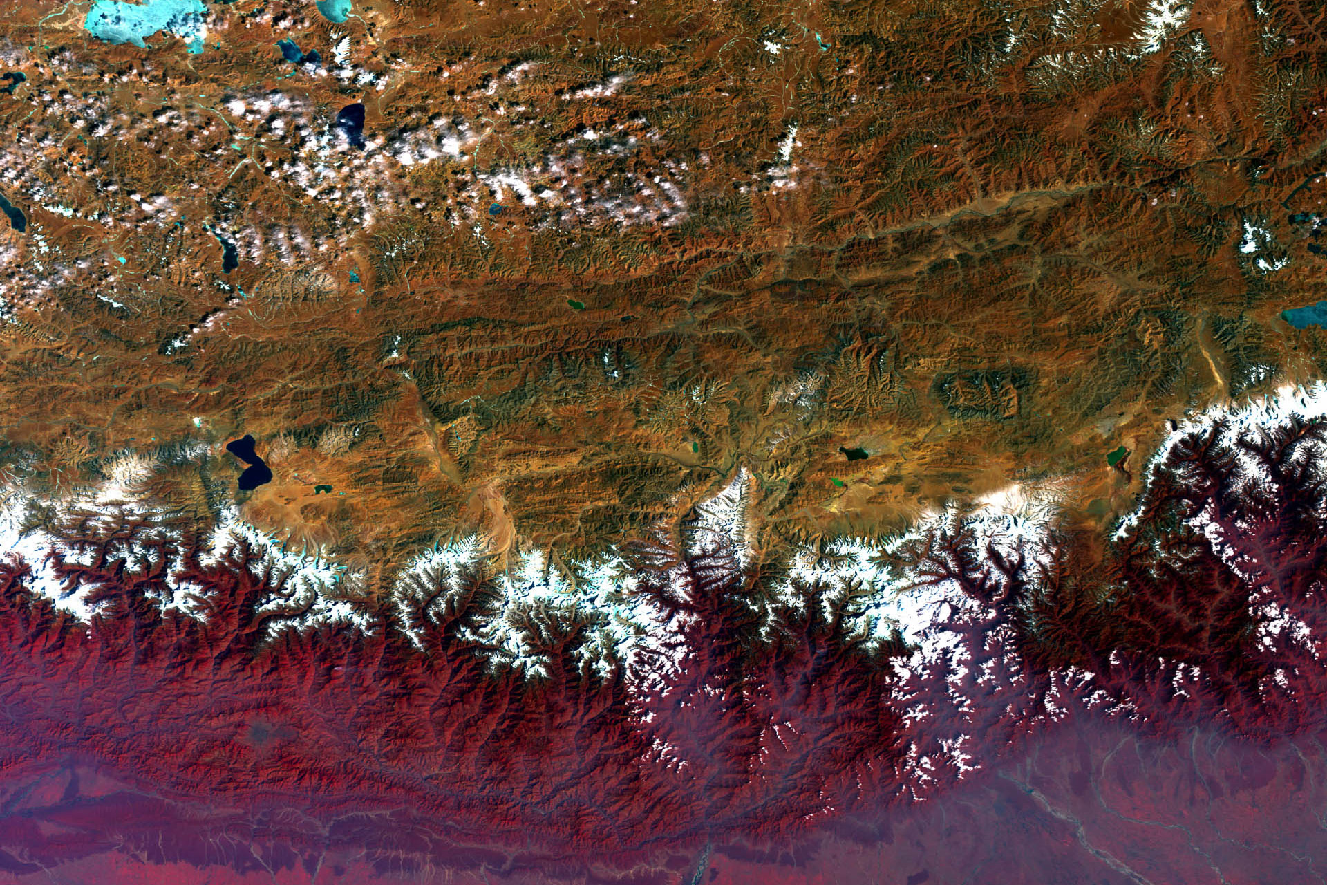
Mapping Asia will bring together 10-12 scholars from institutions in Europe, Asia, and North America with common research interests in cartography, international development, and the visualization of borders and infrastructure across Asia. Combining both historical and contemporary models and contexts, the workshop will expose participants to a variety of cartographic technologies with which to advance our scholarship activities. Over the course of several days in Munich, we will share, explain, and teach elements of our respective research projects as they relate to mapping Asia. Broadly construed, this includes using a range of cartographic techniques to map, analyze, and illustrate both historical and contemporary development initiatives, with a particular focus on mainland China, the Tibetan Plateau and Himalaya region, Central Eurasia, and South Asian borderlands. Technologies employed by workshop members include, but are not limited to, open source and crowd sourced systems (e.g. OSM); remote sensing; digitalization of historical cartography; archival research and web-based distribution platforms; participatory and mental mapping; and ethical concerns with cartography and power.
The purpose of the workshop is for participants to present and share some key aspects of their own research projects and to collectively discuss how employing current cartographic technologies can help deepen understandings of the politics of development and representation across a range of scales. The skills, backgrounds, and interests are varied, but three main interests/themes/approaches orient us together: historical cartography; contemporary mapping and cartographic platforms; development, territoriality, and trade. By sharing and teaching our own mapping work with one another, participants will achieve three objectives: learn new techniques and approaches to expand geographic knowledge; receive critical and constructive feedback from interdisciplinary perspectives; and broaden individual and collective understandings of current mapping work in Asia, especially as it relates to international infrastructure projects, post-disaster reconstruction, and the so-called new 'China model' of development. While it is not expected that all workshop members will have advanced technical skills or backgrounds in GISciences, as a group we will generate a "cartographic resource list" that we share, trade, and compile into a collective "mapping sourcebook" as a takeaway product from the event.
In Munich, we will NOT present empirical research papers but rather share our own cartographic interests and projects with one another. While some participants will introduce and teach preliminary methods for applied cartographic research (such as a lesson on using OSM to map contemporary road development in the trans-Himalaya), other participants might pose a central question or quandary that can be answered with an applied mapping technology (and that can be supported by conversation with and instruction from fellow participants). The overarching goals of the workshop are to support one another's research and come away with new, tangible skills and a broader set of understandings in order to advance our individual – but also complimentary – research agendas. For example, one might ask: what approaches can I best employ to map the rapid expansion of Chinese high-speed rail or dam construction, in real time and with open-source technology, both in China and abroad? In response, we will then discuss the advantages and disadvantages of using a range of cartographic technologies (such as GIS, OSM, MapBox, Google Earth, remote sensing, etc.) to build useful data sets that help to answer such questions. Hands-on learning and instructional lessons will be provided as much as possible.
The workshop is organized by Galen Murton (LMU Munich) as part of the Marie S. Curie Action grant project Road Diplomacy: International Infrastructure and Ethnography of Geopolitics in 21st Century Asia. The event is also sponsored by ERC Starting Grant: Remoteness and Connectivity: Highland Asia in the World and hosted by the Department of Social and Cultural Anthropology at LMU.

